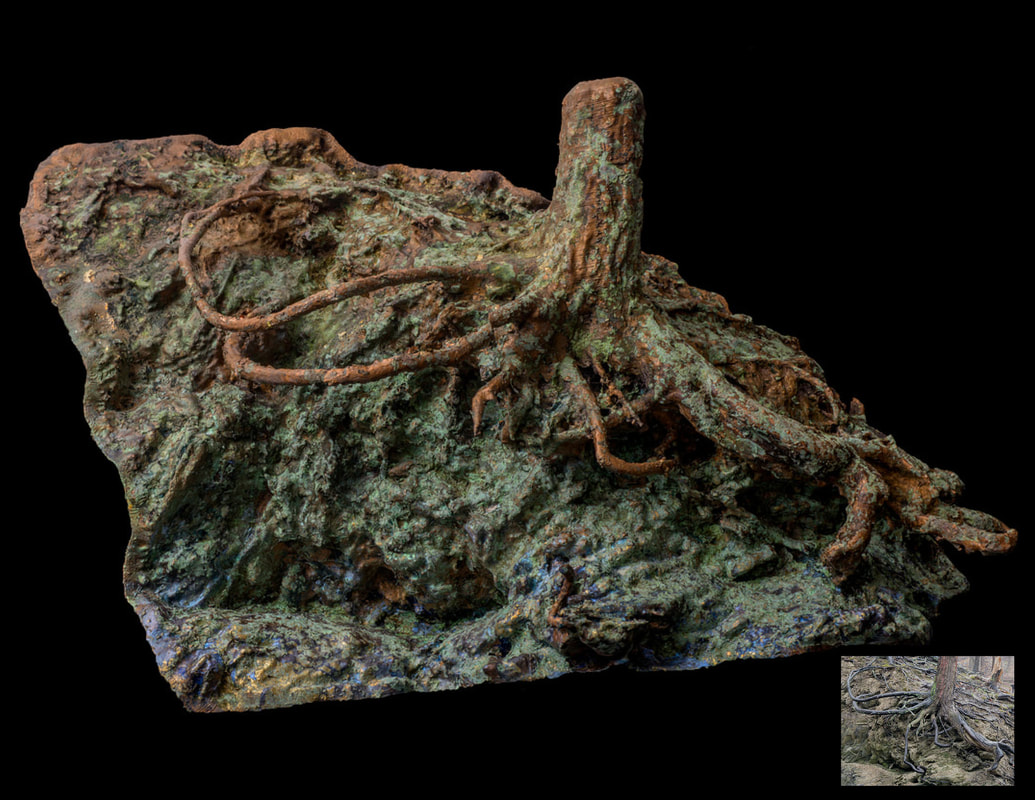
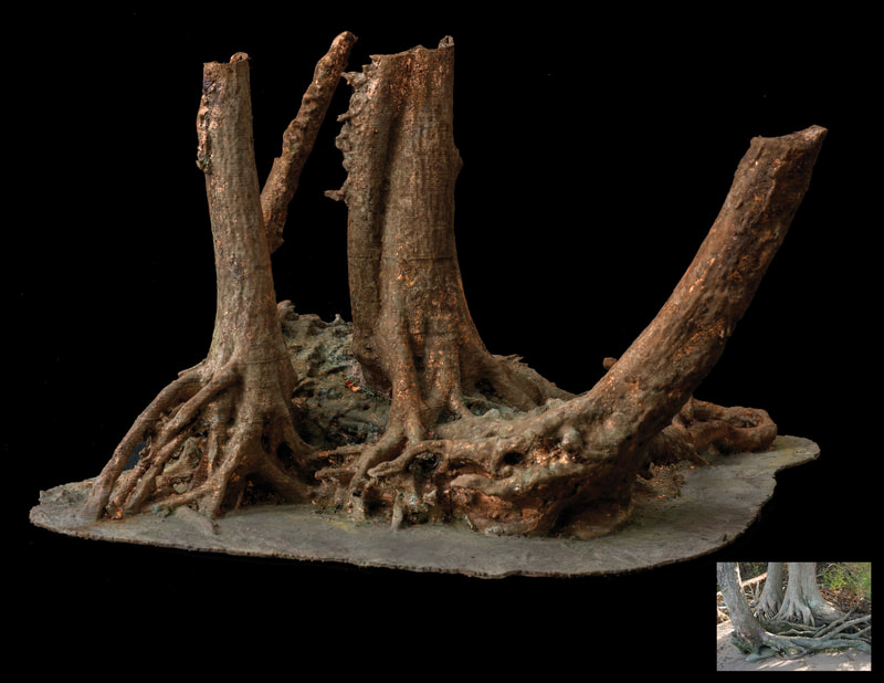
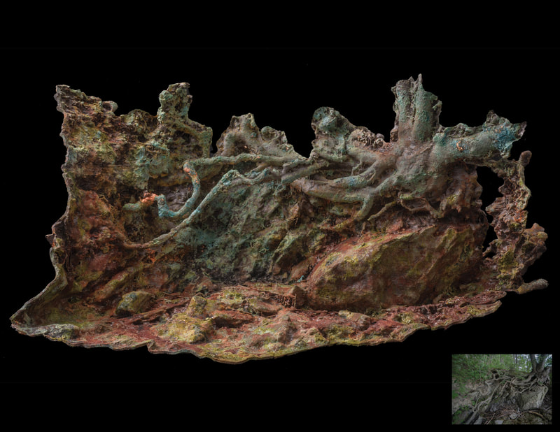
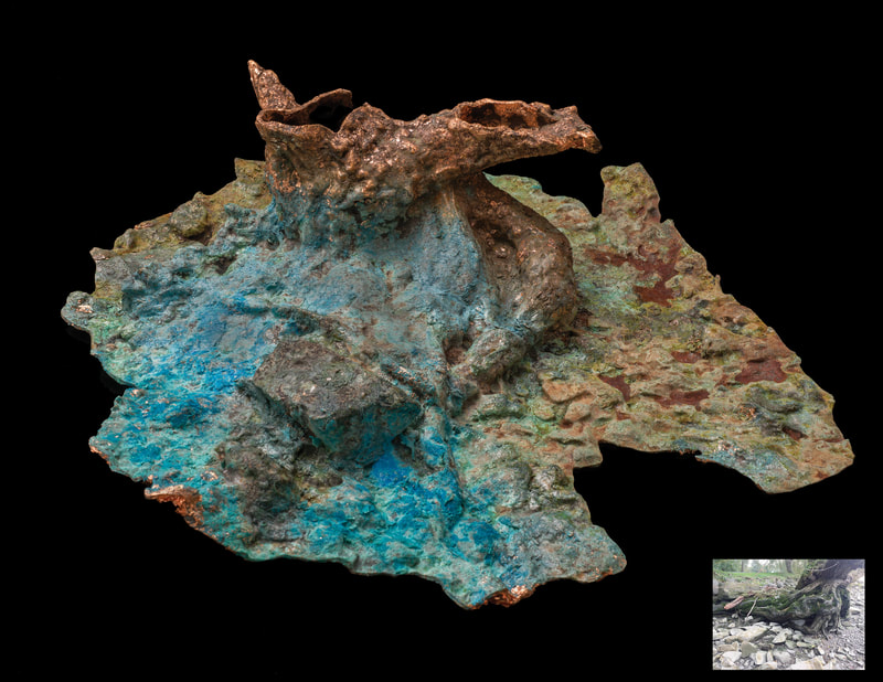
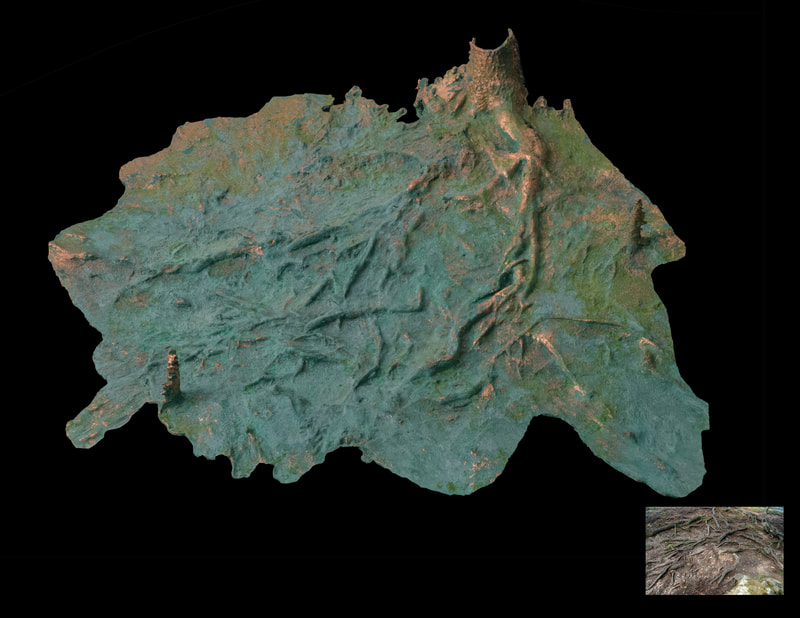
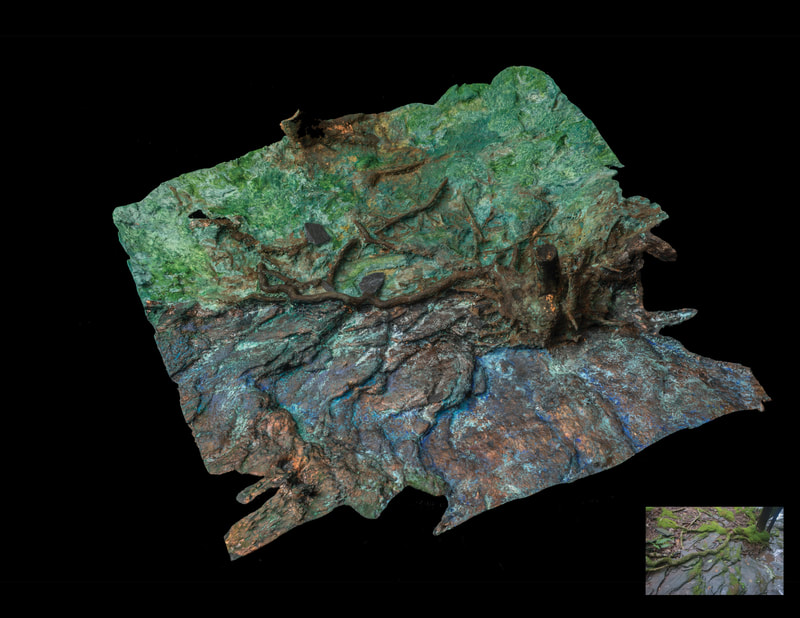
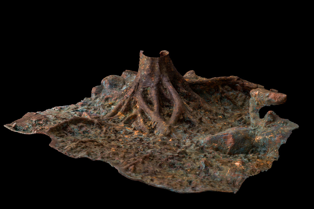
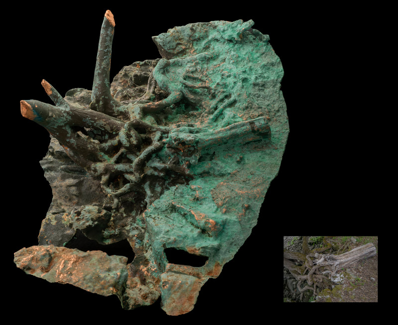
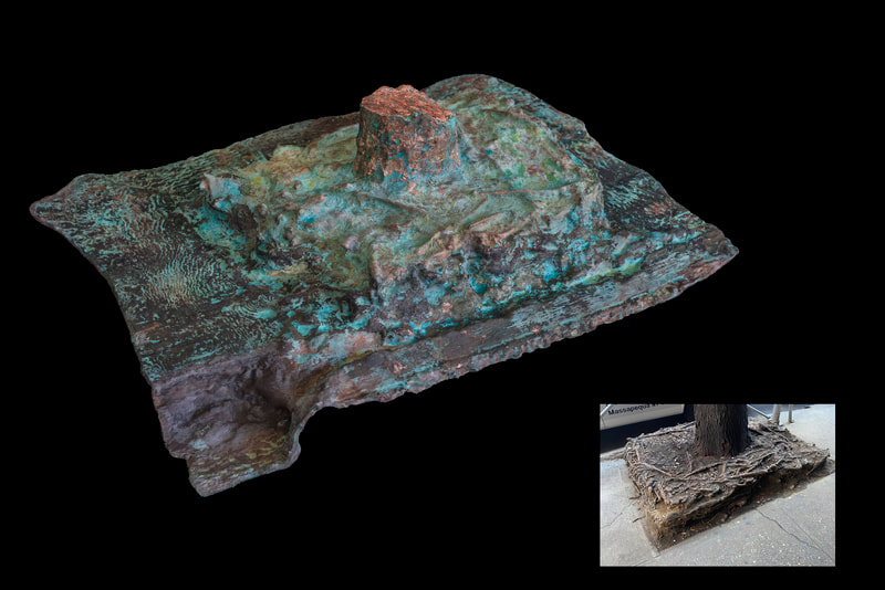
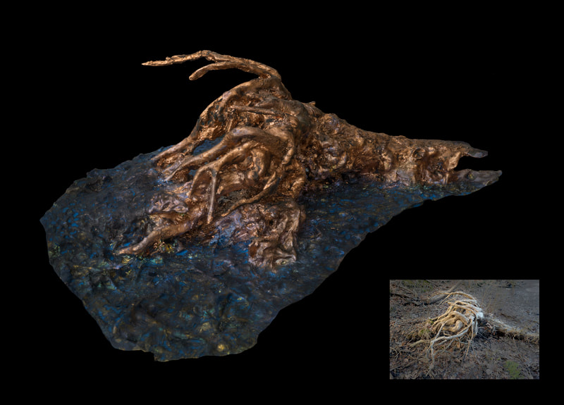
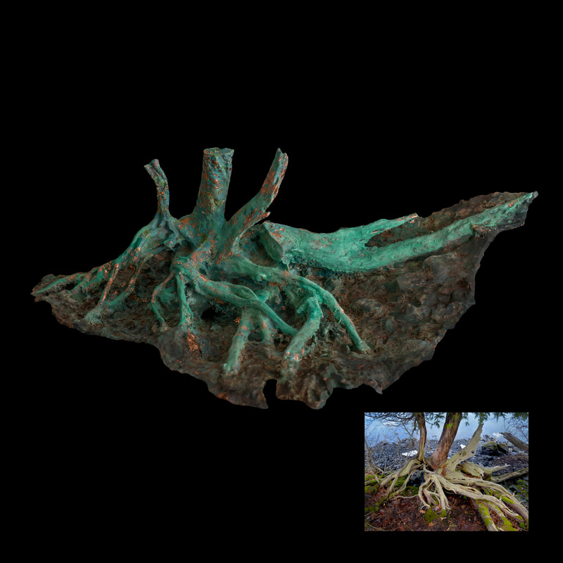
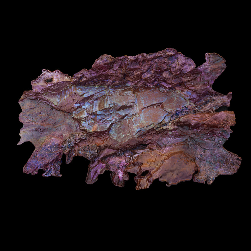
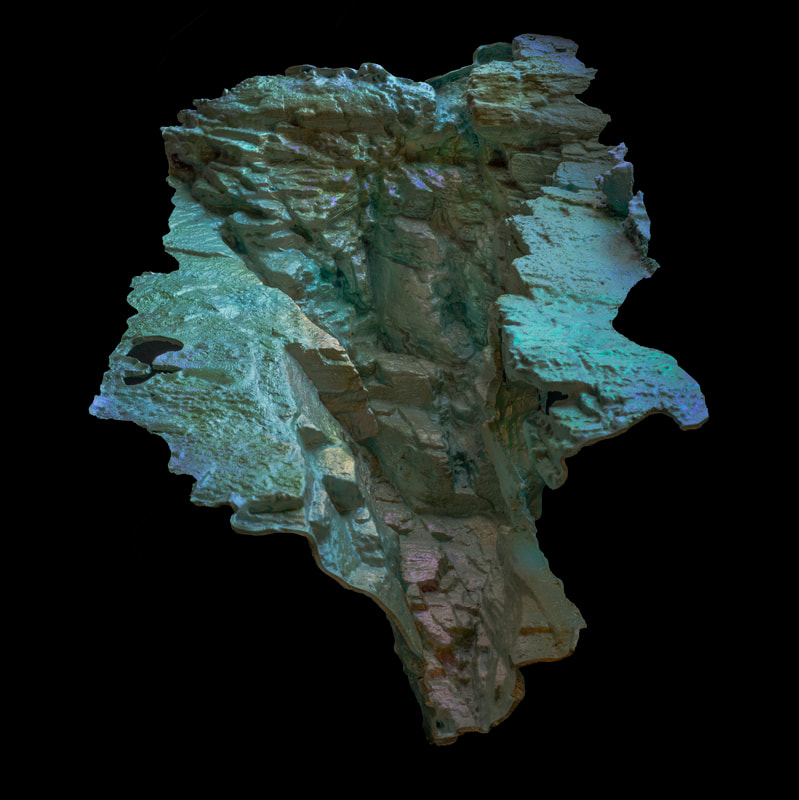
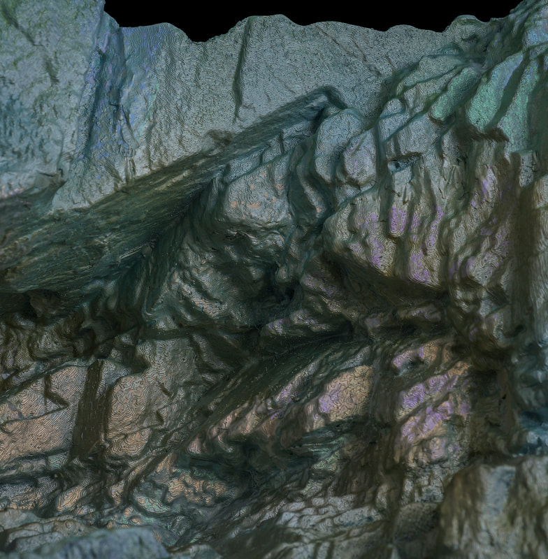
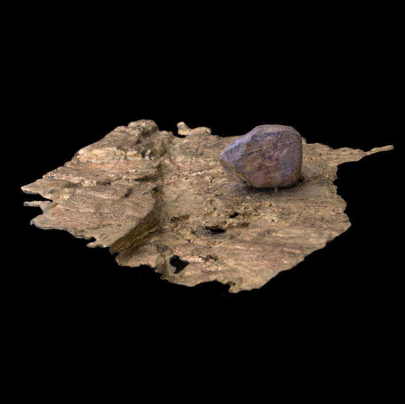
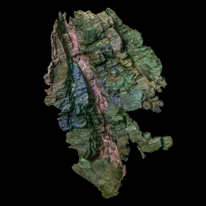
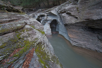
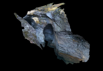
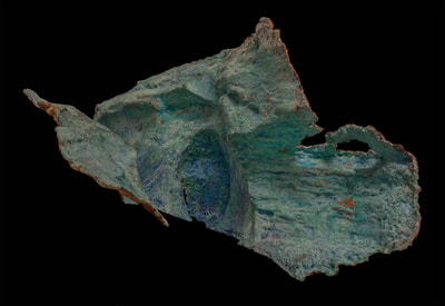
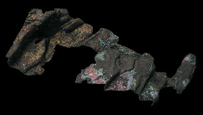
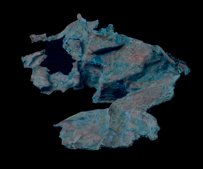
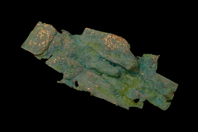
3D sculpture derived from Photogrammetric scanning of environments in the Hudson valley of New York.
Having lived in the Hudson valley for most of my life, I have enjoyed its natural beauty for many decades during my walks along the Hudson riverfront. I have noticed in the past 20 years a gradual rising of the river height, and its destruction of the coastline trees and habitat. I decided to document this phenomenon by creating 3d models using Photogrammetry (explanation below).
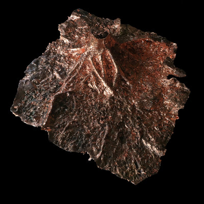
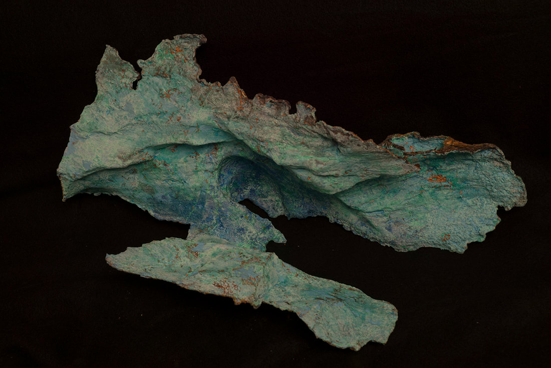
The models are fabricated using corn resin, copper-leafed and patinaed. They are approximately 16” high and 20-28” long/wide. Each model is one-of-a-kind, and the copper surface cannot be reproduced exactly when making a subsequent model. Copper was chosen because of its beauty and also because it is an elemental part of the earth.The oxidized patina a reference to the aging process of living things.
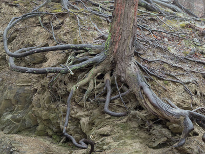
The object title indicates the precise distance from Battery Point in Manhattan, which the US Coast Guard uses to measure distance up the Hudson River. All pieces were captured along the Hudson river coastline, primarily on the Eastern bank. Slides show the model, and then inserted in the bottom right corner is a thumbnail photo of the setting where the model was derived from.
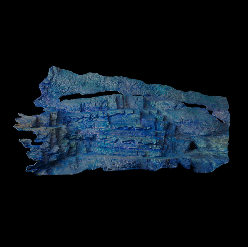
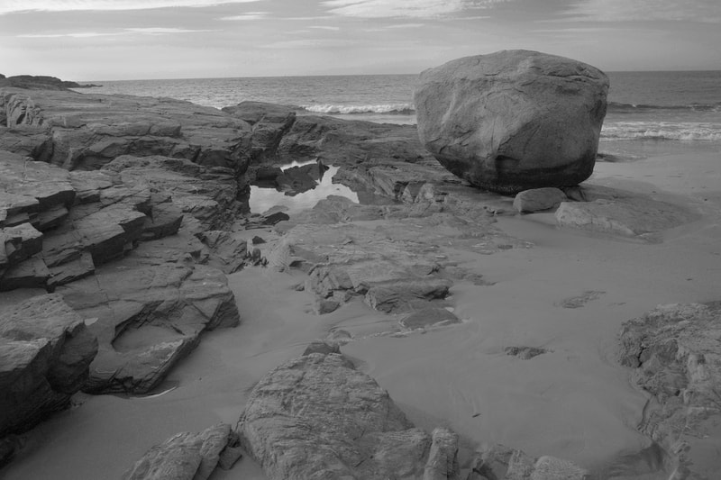
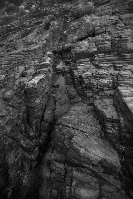
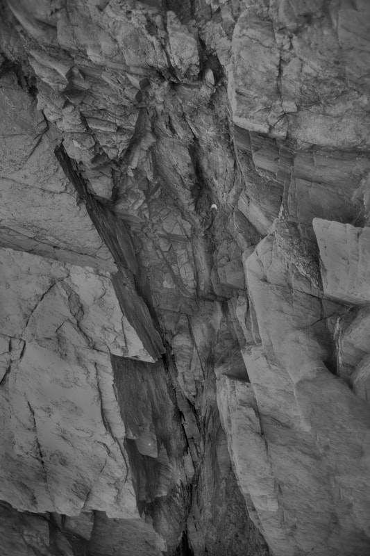
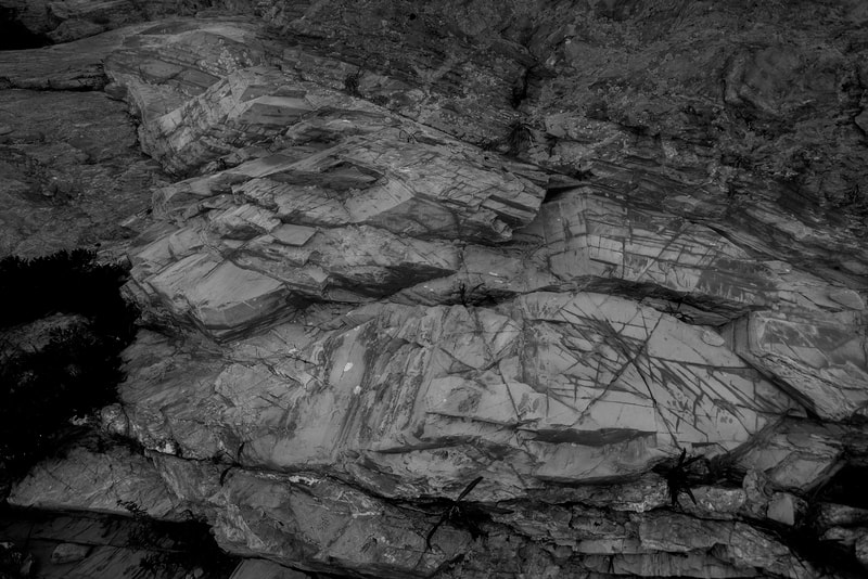
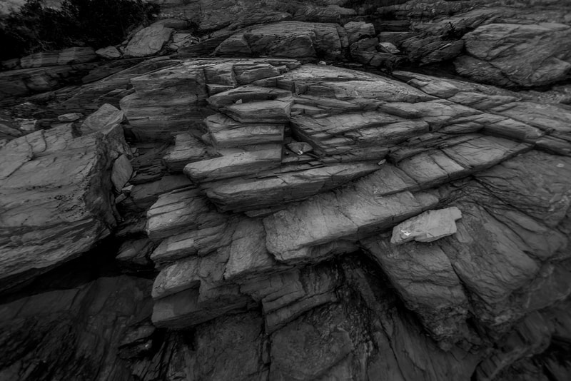
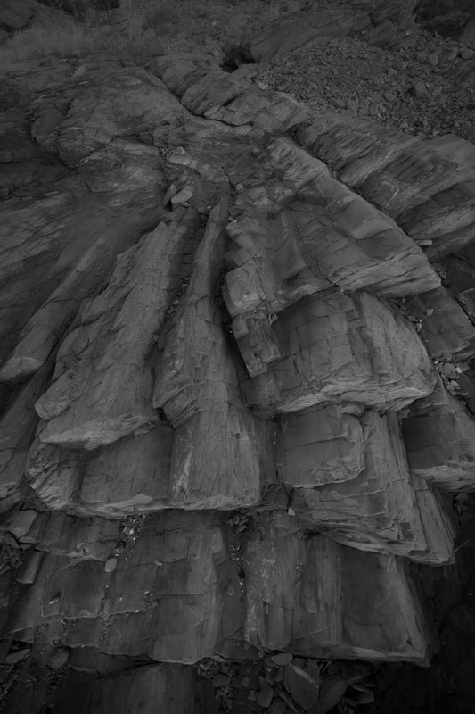
Newport Rhode Island coastline
For years my wife and I stayed in a little bungalow right on the ocean in Newport, I was fascinated by the rock formations along the shoreline, they were crystalline in construction, so I made this series with crystalline colors.
Technical Data
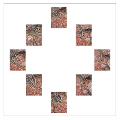
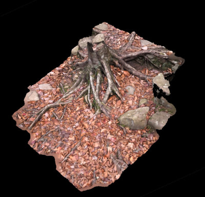
Photogrammetry (Photogrammetry is a process using multiple points of view of a setting or object, and then using software to extrapolate the form as a 3D model.) was used to build these models from multiple photographs taken at the setting location.
The models are created with a 3D printer using an environmentally friendly material- corn resin, then copper-leafed and patinated.
3D reconstruction from multiple images is the creation of a three-dimensional model from a set of images. From a single image, it is impossible to determine which point on this line corresponds to the image point. If two images are available, then the position of a 3D point can be found as the intersection of the two projection rays. This process is referred to as triangulation. The 3-D coordinates define the locations of object points in the 3-D space. The software used to process the photographs is called Agisoft. The printer is a Makerbot 2. The camera used to take the photos is a Nikon D800. The exposures used are deliberately low-contrast in order to show all highlights and shadow areas for the 3D conversion therefore the photos look flat to the viewer accustomed to looking at dramatic photographs.
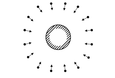
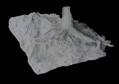
The target 3D object is in the center. each arrow represents a photographic capture of the object. (righthand side shows actual photos used in the model below). After the photos are made, they are assembled in 3D software called Photoscan. That software builds the model in both photorealistic surfaces, and then wireframe/polygon for 3D output.
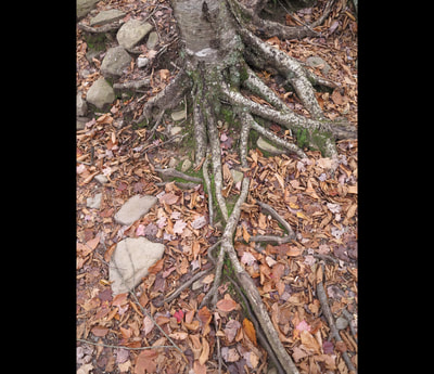
The process of creating a 3d sculpture from the location in the flooding Phoenicia streambed. One of the original photo captures, to rendered virtual model, to actual 3D model in copper leaf, prior to patina.
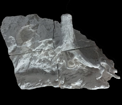
Original photo still from the scan set of 23 photos, and then the output of the model in 6 pieces, its assembly and at the top of the page the final copper-leafed and patinated sculpture.
Dry Brook, New York streambed. Approximately 18" long, 13' high.
Dry Brook New York streambed- 3D process, one of the original photo captures, to rendered virtual model, to actual 3D model.
Annandale-on-Hudson eroded tree, 3D process- one of original photo captures, 3D model(in sections, prior to assembly, assembled 3D model.
3D models of various stream beds in the Woodstock and Esopus creek area in the Catskills.
Cultural Statement
Art & photography has a 100+ year legacy of bringing cultural awareness of the environment to the public’s attention. Beginning in the 1940s with Thomas Coles’ landscape paintings showing the impact on the environment; then the 1870s with William Henry Jackson documenting the west, including Yosemite park, this resulted in the creation of the National Park system in America. The phenomenon continues into the 20th century with Eliot Porter documenting the loss of Glen Canyon after the construction of Glen Canyon dam in Arizona, and continuing with Richard Misrach documenting nuclear waste sites in Nevada. I would be proud to be part of any social change that resulted from viewers noting the beauty of the Hudson river and its coastline and taking action to preserve it.
Art & photography has a 100+ year legacy of bringing cultural awareness of the environment to the public’s attention. Beginning in the 1940s with Thomas Coles’ landscape paintings showing the impact on the environment; then the 1870s with William Henry Jackson documenting the west, including Yosemite park, this resulted in the creation of the National Park system in America. The phenomenon continues into the 20th century with Eliot Porter documenting the loss of Glen Canyon after the construction of Glen Canyon dam in Arizona, and continuing with Richard Misrach documenting nuclear waste sites in Nevada. I would be proud to be part of any social change that resulted from viewers noting the beauty of the Hudson river and its coastline and taking action to preserve it.
